
ADV RIDER - Smooth Riding
Motorcycle Navigation & Dashboard
Made by adventure riders,
for adventure riders
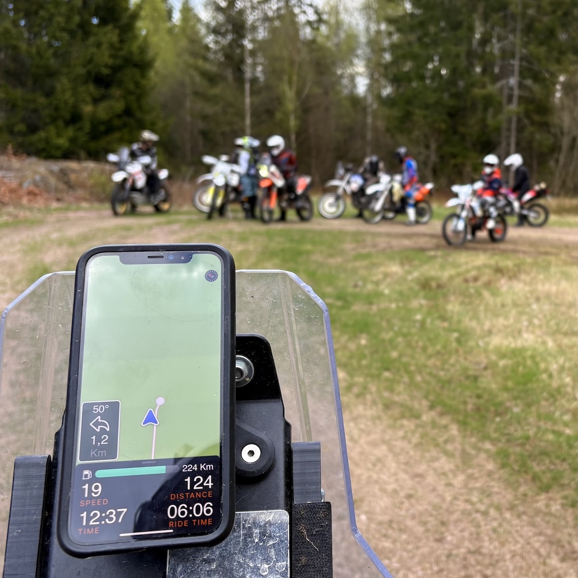
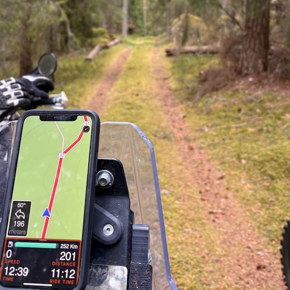
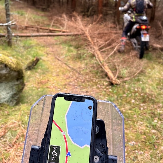
Download Adv Rider from the AppStore
WHAT IS ADV RIDER?
ADV Rider is an iOS app designed for motorcycle adventure riders, focusing on offroad
and rally-style navigation using GPX coordinates instead of road networks.
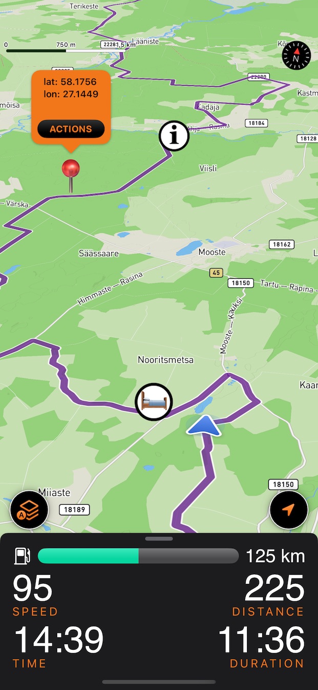
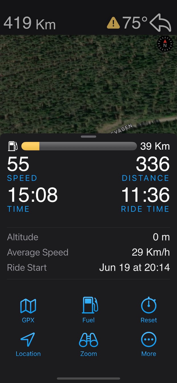
The app features a clean dashboard with key ride stats (distance, time, average speed),
offline maps, and automates functions like auto-zoom and automatic ride recording when
the bike moves, reducing the need to stop and interact with the app.
For safety, ADV Rider blocks screen interaction above 35 km/h and avoids recording
maximum speed to discourage risky riding. It also warns of upcoming sharp curves during
offroad navigation to help prevent accidents.
NEWS
2025-06-20: Seamless Location Sharing Between Maps and ADV Rider!
Now you can copy any location from Apple or Google Maps and instantly import it into ADV Rider, and vice versa!
2025-06-10: Now you can continue recording your ride details even when
the app is running in the background.
This is especially useful if you temporarily switch to another app while riding, but
still want to track your total distance, ride time, and average speed.
2025-05-26: No Roads? No Problem! Introducing offroad rally-style
navigation using GPX coordinates instead of road network,
including warnings of upcoming sharp curves to help prevent accidents.
Hang tight! We're working on requested features, and they'll be rolling out as soon as
possible. Stay tuned!
- Offline-cached maps ✅ (released in version 2.1)
- Sort imported GPX files ✅ (released in version 2.1.3)
- Offroad-navigation ✅ (released in version 2.2)
- Record ride details in background mode ✅ (released in version 2.2.1)
- Import location from Maps ✅ (released in version 2.2.5)
- Landscape/Horizontal mode (coming soon)
- CarPlay support (coming soon)

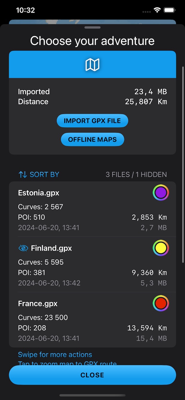
SMOOTH GPX IMPORT
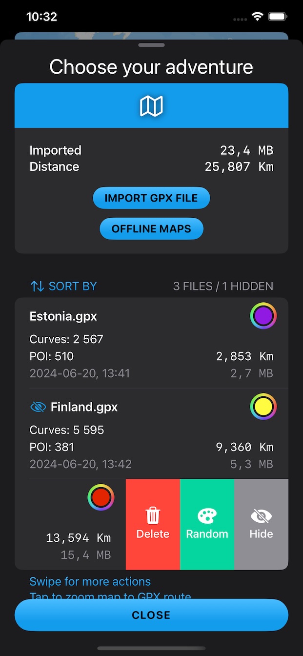
Pick a color for each one.
Hide routes whenever you like.
Sort files by different metrics to find what you need fast.
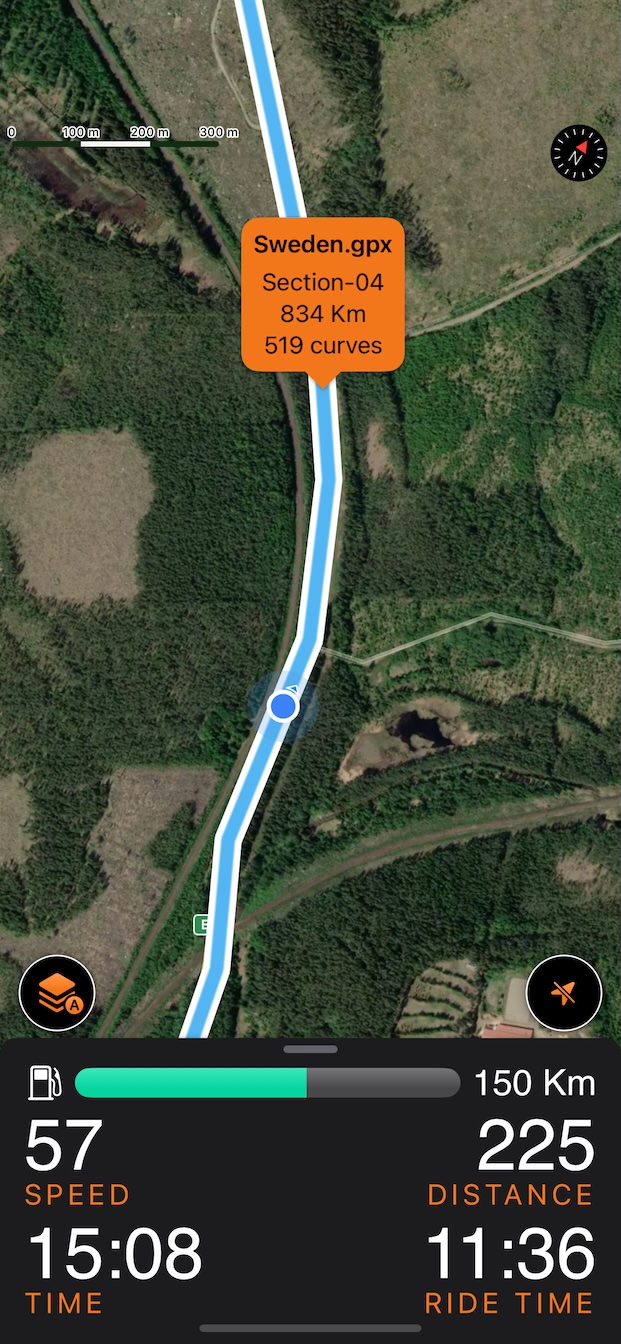
Get a clear overview with total distance, number of curves, and other
metrics for each route.
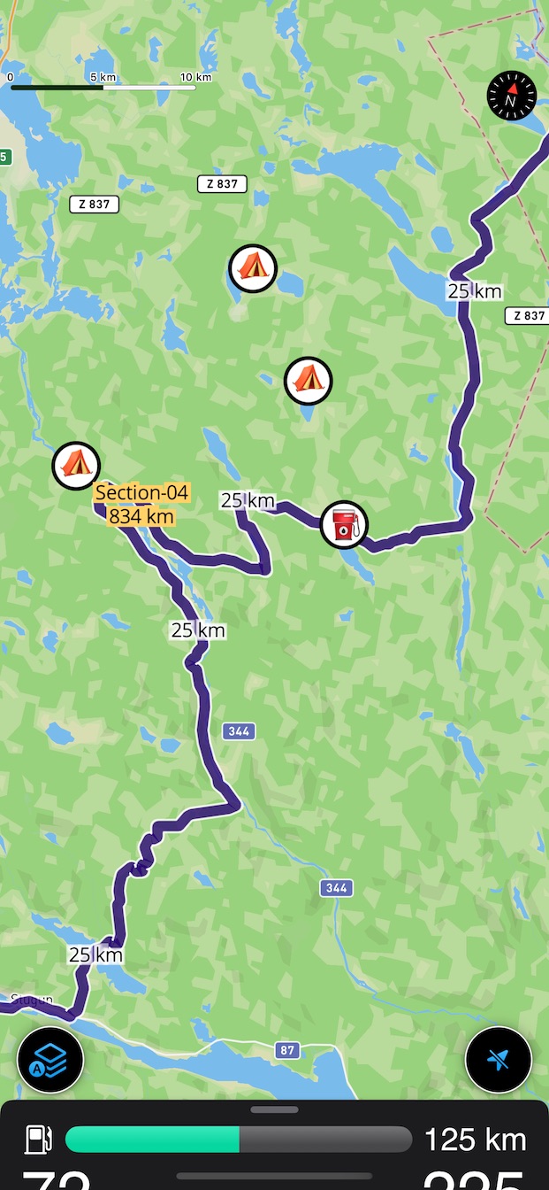
Distance markers are shown every 25km for each route on the map, making
measuring a breeze.

NAVIGATION
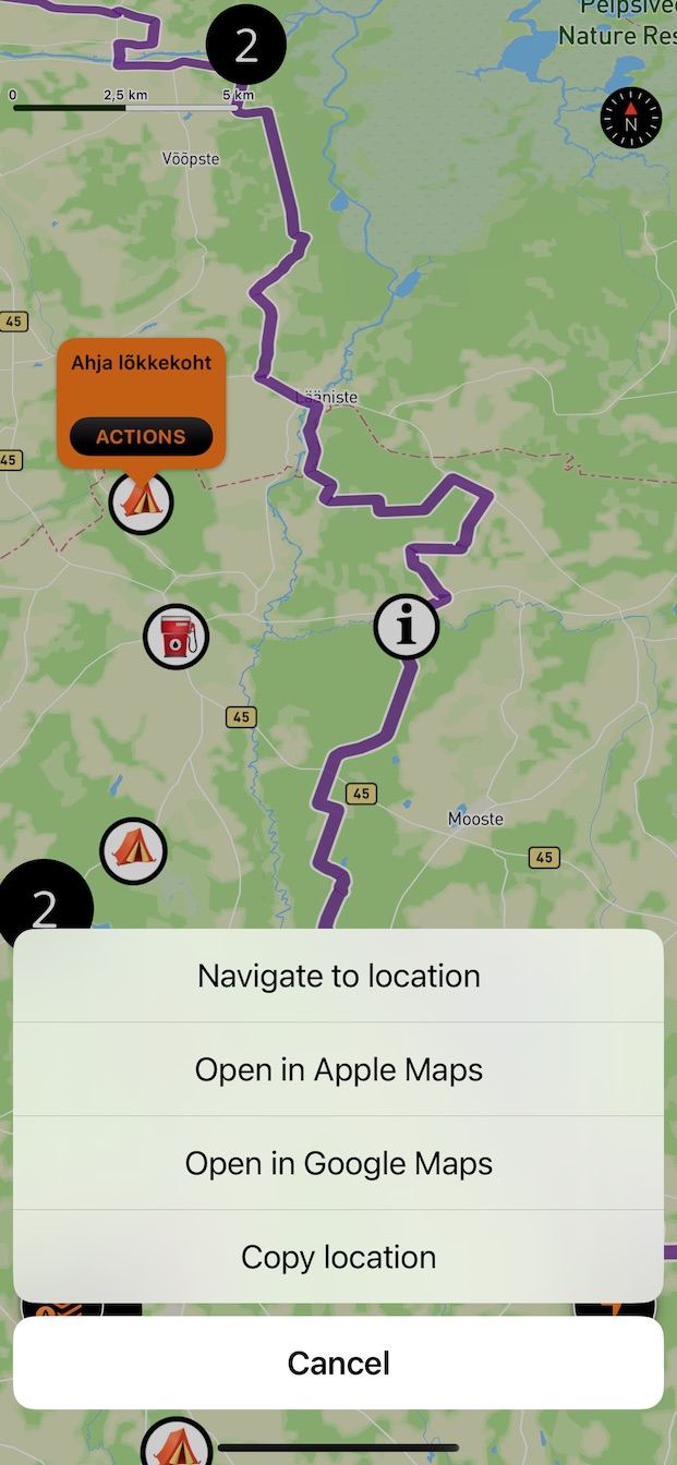
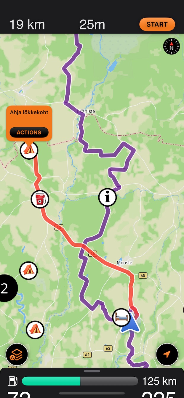
Drop a pin on the map and start navigation to that location.
The route, distance and estimated time to target, will be
re-calculated regurarly while navigating.
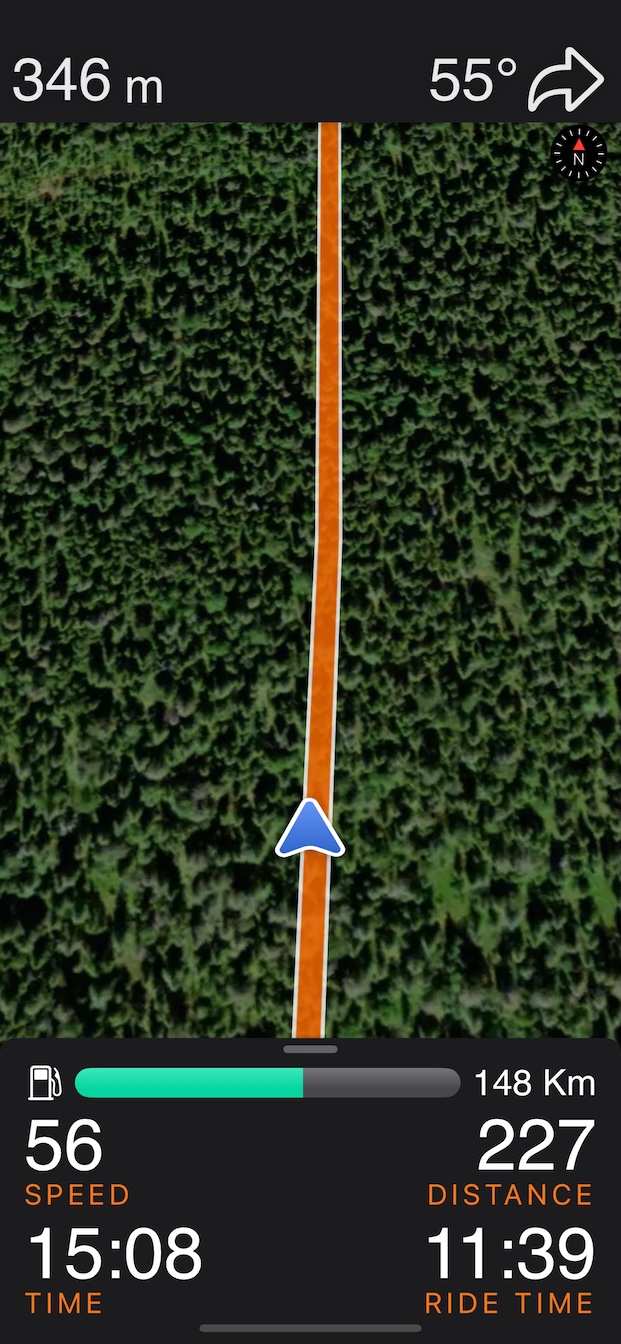
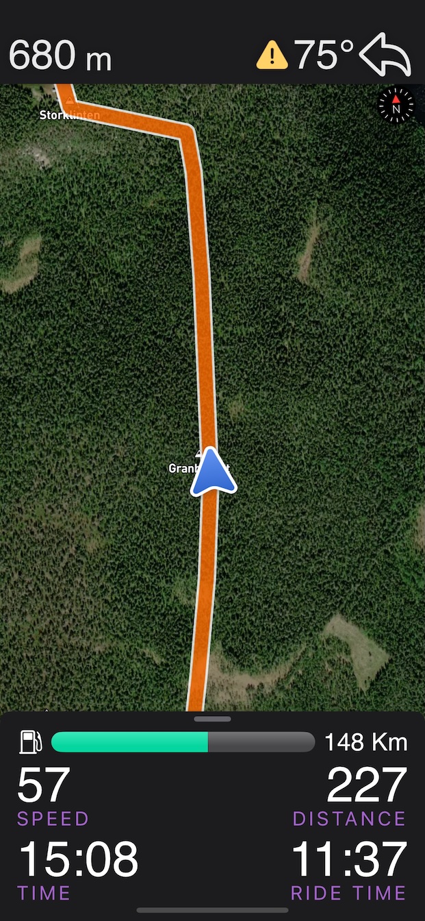
OFFROAD NAVIGATION
Always on and fully automatic — just
start riding along a GPX route.
When you're close enough to the route, an
arrow will appear, showing the direction of
the next curve, how sharp it is, and the
distance to it.
Rally-inspired navigation.
Simple and effective.

AUTO-ZOOM & TILT
ADV Rider will automatically zoom in and zoom out, and tilt the
map, based on your speed when you are riding.
You can adjust the zoom factor to your liking.

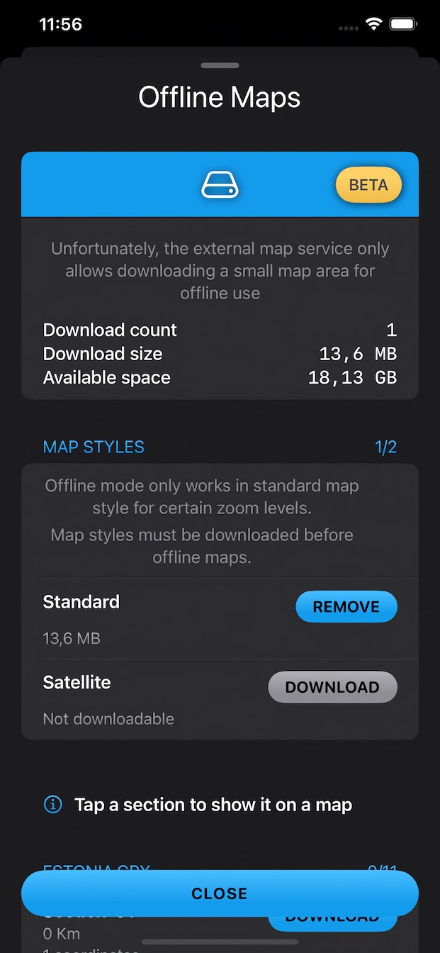
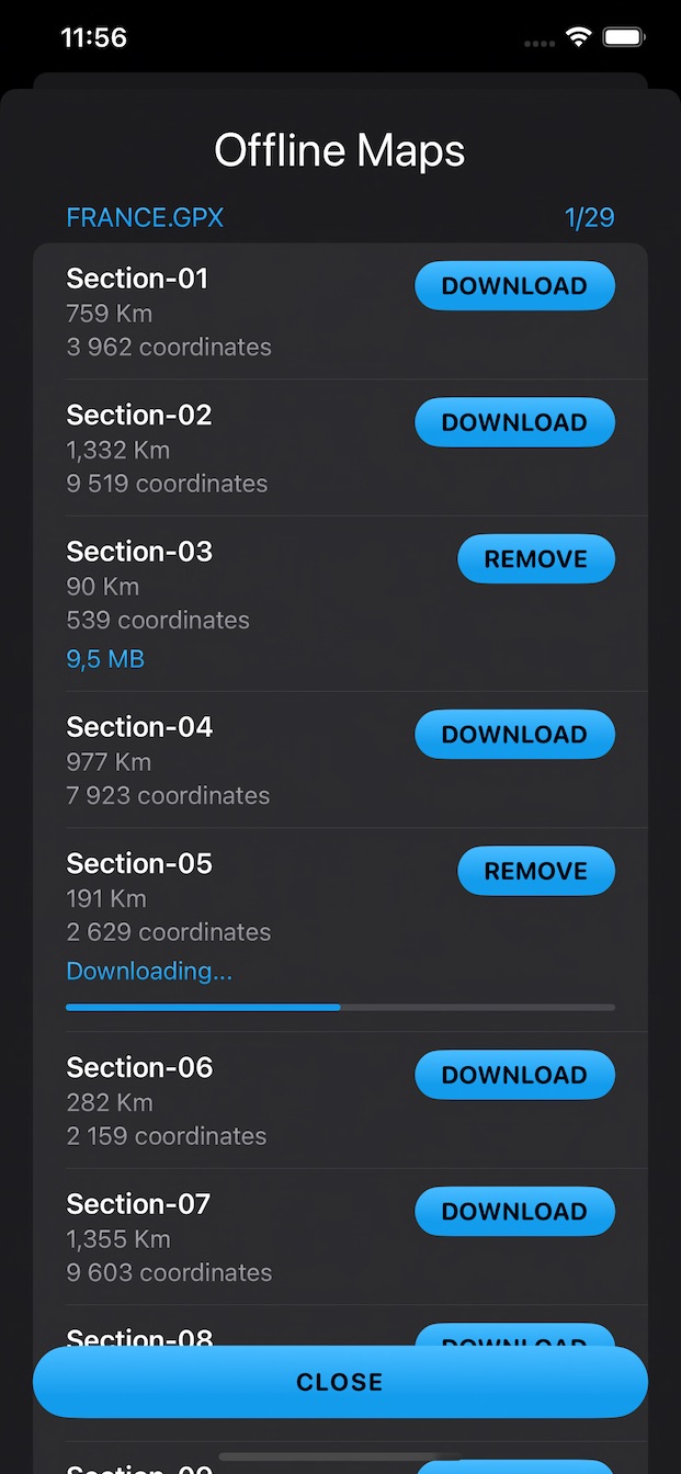
OFFLINE MAPS
No cellular coverage? No problem!
Simply download offline map for your GPX files before you go on
your adventure.
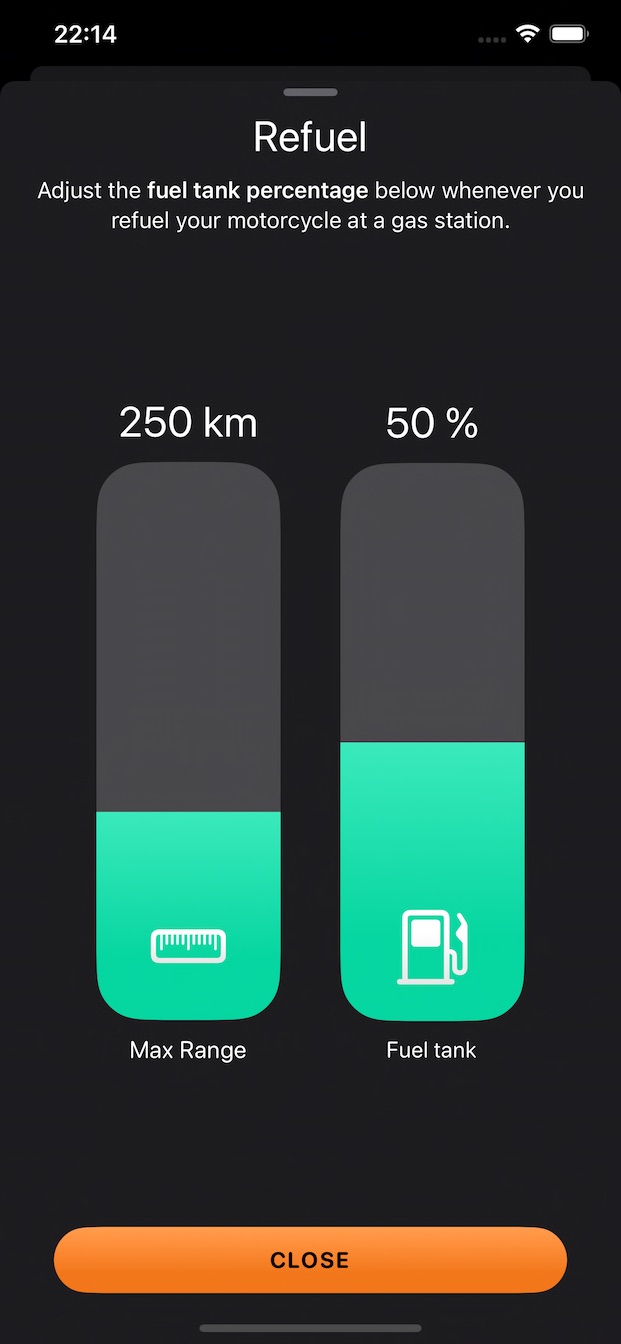
FUEL-RANGE GAUGE
The app displays how long range you have left until empty fuel
tank.
Perfect for enduro bikes that do not have any fuel gauge.
This is based on your input of your bike's fuel range whenever you fill it up.

AUTO-RECORD
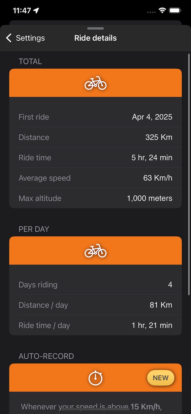
Whenever your speed is above 15 km/h ...
- duration, distance and average speed will automatically be recorded
Whenever your speed is above 35 km/h ...
- the map will automatically re-center and follow your location
- the dashboard will automatically minimize
- the floating map buttons will automatically hide
MORE SCREENSHOTS
HELP GUIDE
PLACES TO DOWNLOAD GPX FILES
TRUSTED PARTNERS
We test the products of our partners and only recommend the best.
-
Viking
Bags
offers a wide range of motorcycle luggage. They are known for their high-quality
products and
excellent customer service.
We highly recommend their 40L Viking Odyssey ADV Touring Luggage System.
